Your drone surveys. Your brand. Your clients.

Upload the survey data you already processed — ortho, DSM, 3D — and hand every client a branded, measurable portal on your own domain. Volumes, cut/fill, contours, hydrology, haul-road. No photogrammetry. No per-seat tax.

2-minute survey below decides what we build first. Early-access invites only — no spam.

No processing
bring data you already made
Your domain
white-label, your brand
Survey-grade
volumes, cut/fill, contours
Own your data
your cloud, on request

How it works

Three steps, no photogrammetry

You already process in Pix4D, Metashape, DJI Terra or WebODM. We pick up where that ends — the last mile that's still WeTransfer, "can you open this .las?", and screenshots with numbers typed on them.

Drone uploading survey data layers
01

Upload processed data

Drop in the ortho + DSM you already produced. We never re-process.

Measuring a 3D terrain block
02

Measure & analyse

Volumes, cut/fill, contours, hydrology, haul-road — in the browser.

Branded client portal with share link
03

Brand & share

Publish a portal on your own domain. You keep the client.

What you get

A survey portal your clients can actually use

Everything below runs in the browser on the data you upload. Some ships at launch; some is on the near roadmap — the survey helps us order it.

Explore all 12 tools →

Mining & aggregatesConstruction & earthworksSolarAgricultureLandfill & wasteSurveying SMEs

Every site you fly

One portal, every job type

Same upload, same tools — the layers adapt to what your clients measure.

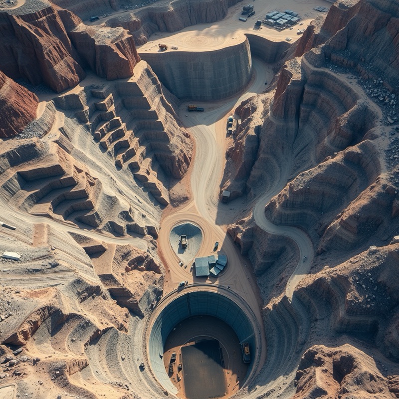
Aerial view of an open-pit mine
Mining & aggregatesVolumes, benches, haul roads
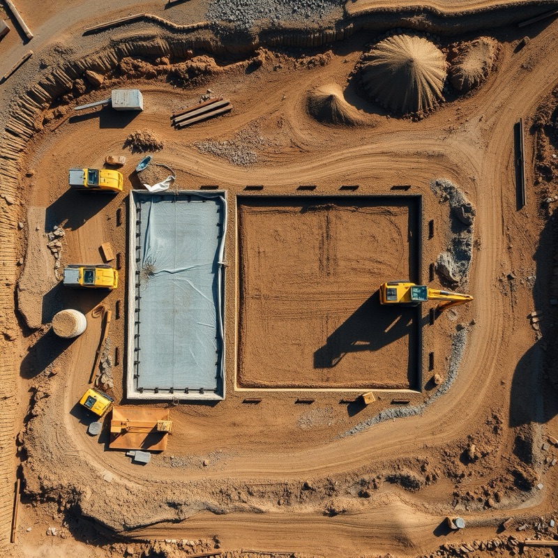
Aerial view of a construction earthworks site
Construction & earthworksCut/fill, progress vs plan
Aerial view of a solar farm
SolarSite layout, thermal layers
Aerial view of agricultural farmland
AgricultureNDVI & crop-health layers

On the roadmap

What we're building — you help us order it

MVP
Upload → view → measure → share

Ortho + DSM ingest, measurement, volumes, contours, branded share link.

MVP
White-label + your domain

Logo, colours, custom domain, client accounts on your brand.

Next
Compare surveys & cut/fill in 3D

Progress over time, volume moved, ghost-surface overlay.

Next
Hydrology & haul-road analytics

Flow, flood-to-level, drawn-road grading, highwall.

Later
Solar & agri layers

Thermal / NDVI ingest, zonal stats, defect & plant-count overlays.

Later
Bring your own storage (S3)

Enterprise: your survey data stays in your own cloud.

Pricing — simple, flat, no per-seat tax

One flat price. Unlimited clients.

Founding-member pricing, locked for life for early access. No card to join — pay only when you go live.

Starter
$79$49/mo
For the solo surveyor getting started
  • Your logo & colours on a subdomain
  • Unlimited client-viewer logins
  • Measure, volumes, contours
  • PDF / CSV reports
Join early access
Most popular
Pro
$199$149/mo
For the growing drone-survey business
  • Your own custom domain + full white-label
  • All analytics + DXF export
  • Branded client portals & share links
  • Compare surveys over time
Get founding price
Agency / Enterprise
$399+/mo
For multi-brand operators & resellers
  • Multi-brand / sub-tenants + SSO
  • Custom report templates (HTML/CSS)
  • Bring your own S3 — your data, your cloud
  • Managed hosting
Talk to us

Every shared portal & report is yours — resell to your clients under your brand. Cancel anytime.

Early access + 2-min survey

Tell us what to build first

We're building this now. Join early access and shape it — two minutes, and it directly decides what ships first.